
Video: When was the last time Oregon had a statistically ‘cool’ year?
Explore Oregon Podcast host Zach Urness talks with Oregon state climatologist Larry O’Neill about Oregon’s string of historically hot years.
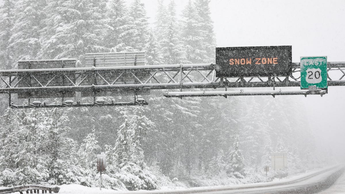
A winter storm watch has been issued for Oregon’s mountain passes from March 31 to April 1 by the National Weather Service in Portland.
A total of 10 to 18 inches of snow, and winds up to 35 mph, could make travel on mountain highways hazardous, particularly the night of April 1.
The snow is forecast to fall as low as 2,500 feet but the bulk of the accumulation will be above 4,000 feet.
The conditions are most likely to impact mountain roadways such as Highway 22 at Santiam Pass, Highway 58 at Willamette Pass and Highway 26 in the Mount Hood area near Government Camp.
The snow should help Oregon’s higher-elevation ski areas provide some better conditions for a period. However, Oregon’s mountain snowpack remains at record low levels and this dump of snow won’t change that fact.
Currently, Oregon’s snowpack is 14% of normal statewide and as low as 9% of normal in the Central Cascade Range. It’s the worst year for snow since 2015 and one of the worst in records dating back to 1981.
This year’s winter — December, January and February — were tied for the warmest on record.
Zach Urness has been an outdoors reporter in Oregon for 18 years and is host of the Explore Oregon Podcast. He can be reached at zurness@StatesmanJournal.com or 503-399-6801. Find him on X at @ZachsORoutdoors and BlueSky at oregonoutdoors.bsky.social