- NEXT 12 HOURS: Partly cloudy
- SHORT TERM: Snow, sleet, rain, and freezing rain
- LONG TERM: Wet weather on Saturday
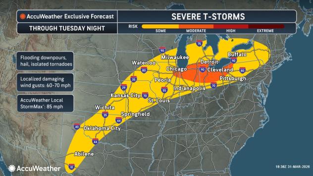
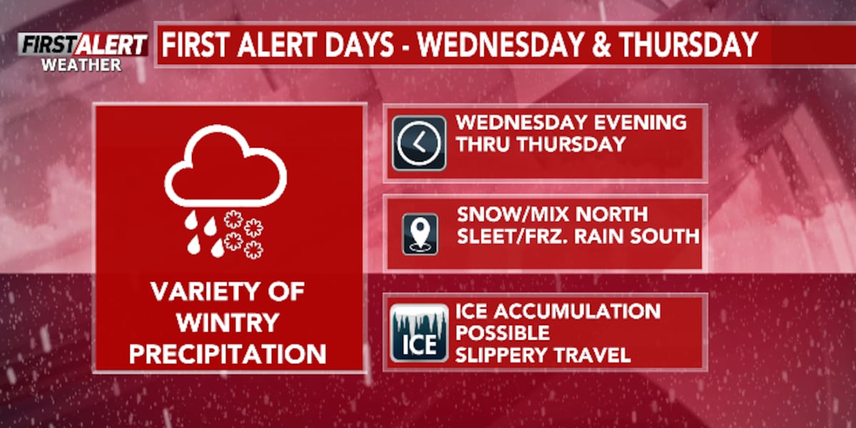
WAUSAU, Wis. (WSAW) – A First Alert Weather Day has been declared for late Wednesday through Thursday. Isolated showers and storms on Tuesday. Late Wednesday into Thursday a mix of rain, sleet, snow, and freezing rain.

What’s coming up
A spring-winter system with a combination of rain, sleet, freezing rain and snow arrives Wednesday night. The track of this system will determine the separation between snow, sleet, and rain. A First Alert Weather Day has been declared starting Wednesday evening, lasting through Thursday. Ice and snow accumulation will likely impact travel. If you have travel plans on Thursday, you’ll want to stay up to date with the forecast. Current weather models are trending more sleet, and freezing rain, rather than snow.


System details
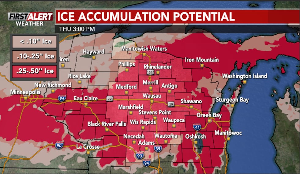
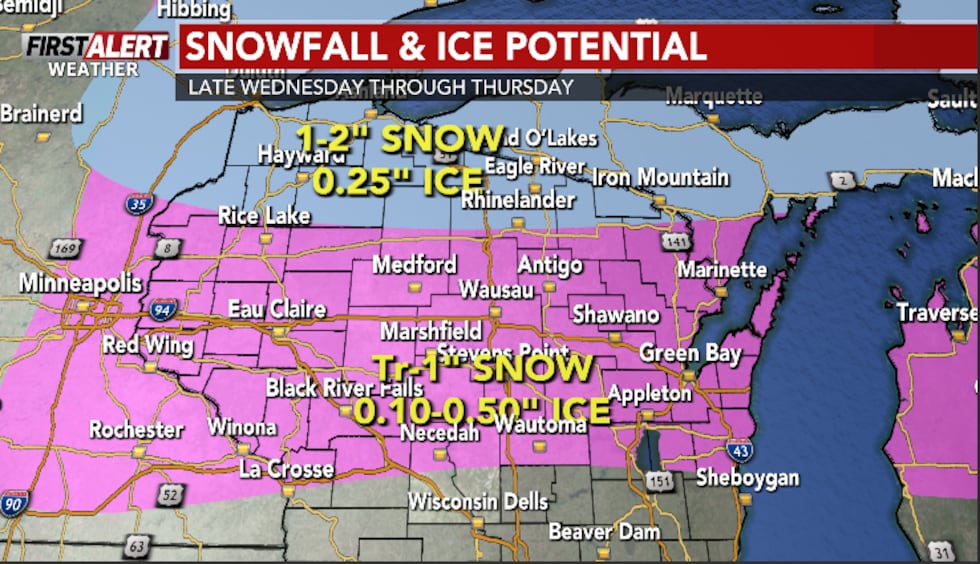
Ice accumulation up to a half inch is expected, with snow accumulation ranging from Tr-1″ south of Wausau, to 1-3″ in the Northwoods. As the system arrives Wednesday evening, we will first see snow up north. This snow will become more widespread Thursday morning before transitioning to a sleet/freezing rain mix. The southernmost portion of the viewing area will transition to all rain by Thursday afternoon.

Click here to download the WSAW News app or our WSAW First Alert weather app.
Copyright 2025 WSAW. All rights reserved.