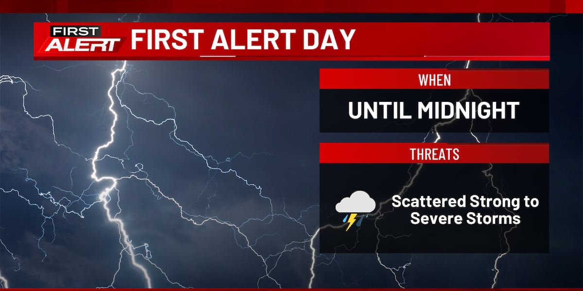
Weather Headlines
- NEXT 9 HOURS: Storms exit eastern iowa
- SHORT TERM: Cooler and drier for Easter Weekend
- LONG TERM: Turning active again next week
Latest Forecast

(KCRG)
CEDAR RAPIDS, Iowa (KCRG) – Showers and storms will diminish through the overnight hours.
Saturday will be windy and cool with mostly cloudy skies and highs in the 40s. A few isolated showers are possible throughout the day, but these will be spotty and light in nature. Lows Saturday night fall into the low to mid 30s under partly cloudy skies.
Easter Sunday continues to look like a great day. Highs reach the low to mid 50s under mostly sunny skies with northwesterly winds. Lows Sunday night fall into the low to mid 30s.
Next week will start cool and dry with highs in the mid 40s to low 50s Monday and Tuesday. Monday night will be especially chilly with lows in the mid 20s. Starting Tuesday night, milder air returns along with shower chances. Wednesday through the end of next week will feature tempeatures in the 50s and 60s for highs, 40s for lows, and near daily shower and storm chances.

Copyright 2026 KCRG. All rights reserved.