
What you need to know to stay safe in a tornado
Advice from the National Weather Service on how to stay safe during a tornado
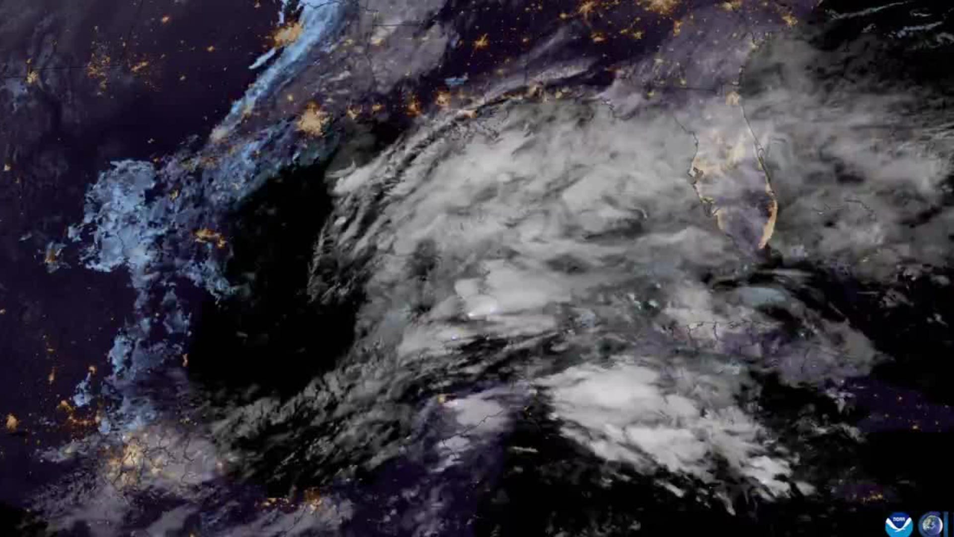
SPRINGFIELD — A few tornadoes are possible amid severe weather in central Illinois on March 26.
The main time frame of concern is late afternoon on March 26 through late evening, according to the National Weather Service.
There is a level 2 of 5 for severe-weather-risk for most of central Illinois.
Very large hail and tornados will be possible. As the storms form more of a line, the threat will shift toward damaging winds.
Scattered thunderstorms are expected to develop in the evening on March 25, lingering past midnight east of I-55, according to a Hazardous Weather Outlook issued for several central Illinois counties including Sangamon County.
While the severe weather threat is low on March 25, a few of the storms may contain hail.
The NWS said that additional thunderstorms are expected to develop late in the afternoon on March 26 north of I-74, pushing southeast across the region through the evening. Some of the storms will be severe.
Hail larger than golf balls will be possible with the strongest storms, and a few tornadoes are also possible. As the evening progresses, the severe weather threat will trend toward damaging winds.
Meteorologist James Auten recommends that people set up multiple ways of receiving weather warnings, in case the power goes out.
Tom Ackerman covers breaking news and trending news along with general news for the Springfield State Journal-Register. He can be reached at tackerman@usatodayco.com.